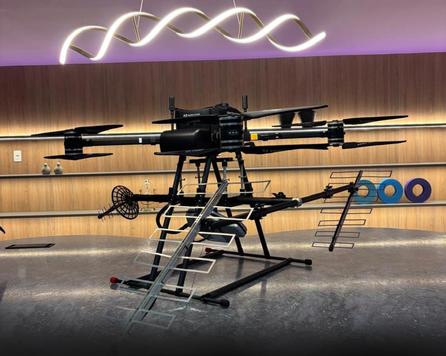
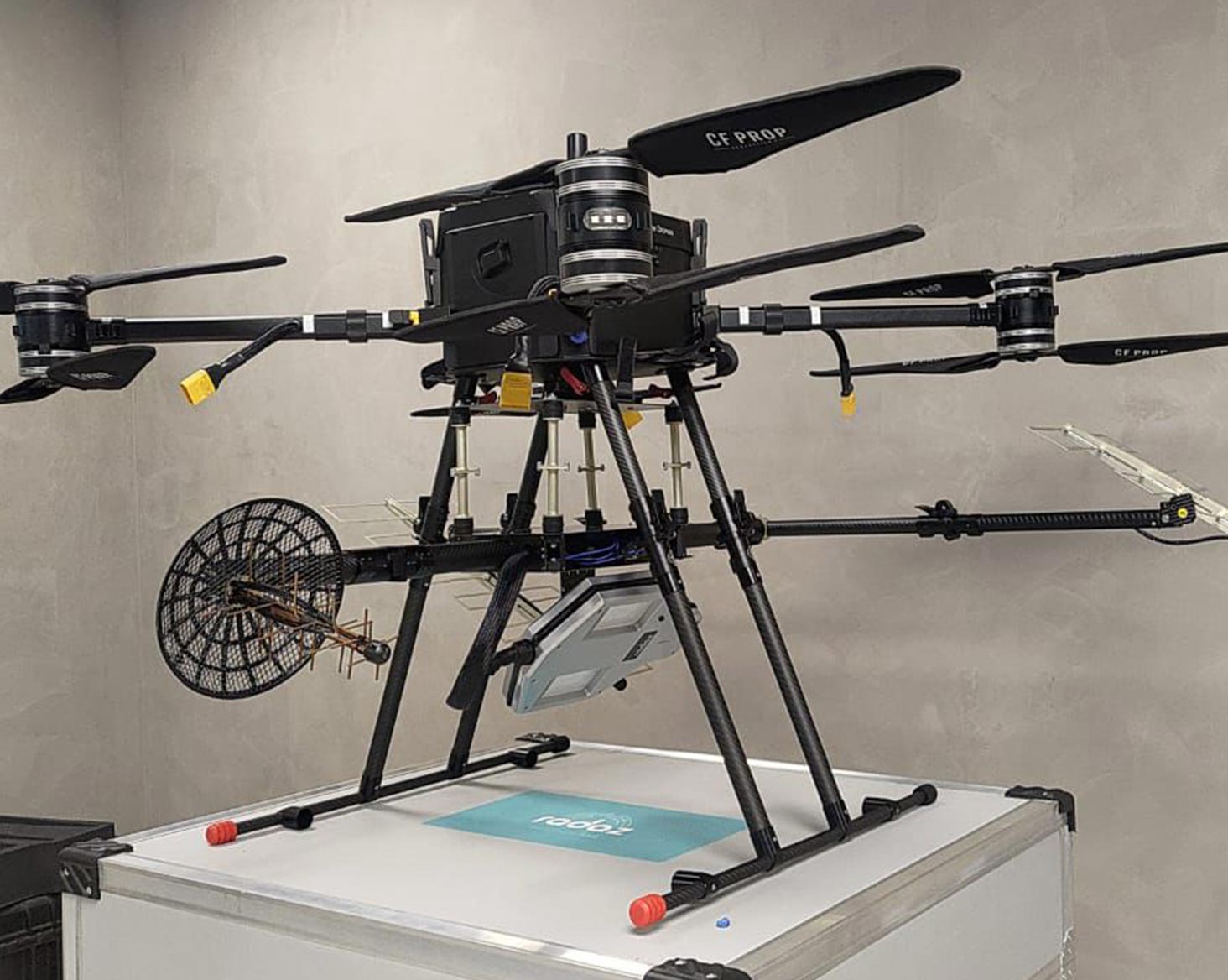
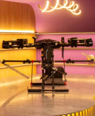
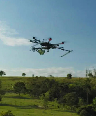
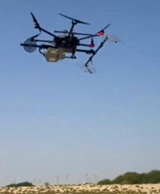
Delivering below ground inspection data
The drone flies over the desired area and can cover up to 500 hectares per day in linear flight mode and up to 50 hectares per day in helical flight mode. After the flight, the data on the USB sticks is collected from the GNSS ground station and radar on the drone and passed to the laptop where it will be processed. Once the processing is completed, a detailed report is generated.
Key benefits
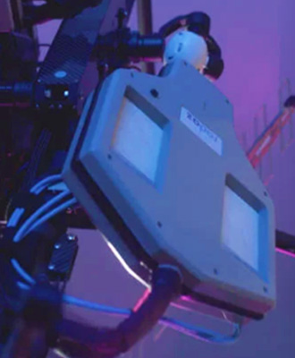
Key benefits include the ability to penetrate vegetation and below-ground surfaces, making it highly effective in diverse environments. The system operates independently of sunlight and cloud cover, ensuring consistent performance in all weather conditions. It features the world’s only three-band on-board radar capable of enabling multiple types of analysis on drones under 55 lbs. Additionally, the system offers automatic data processing, streamlining the workflow from data collection to actionable insights.
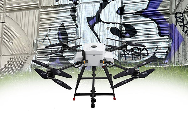
Graffiti Removal
Graffiti removing spray-painting drones help you get the job done safer, faster, and at a lower cost.
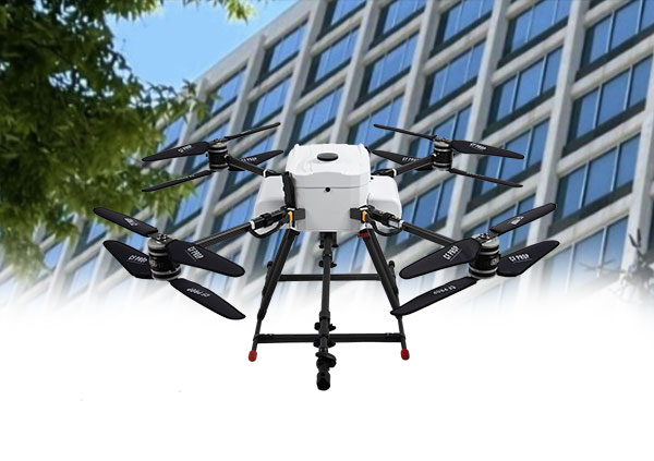
Spray Washing
Cut costs, boost safety, and improve efficiency using power-washing drones to maintain infrastructure.
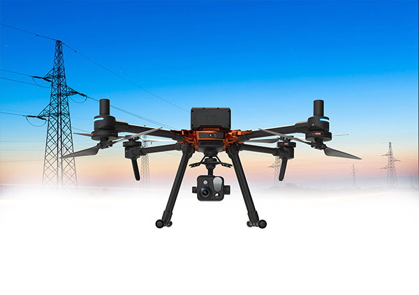
E&U Inspection
Conduct both remote and contact inspections on live wires and electrical assets with precision.